GIS/CAFM: Geospatial Analysis in Infrastructure Planning
This course covers important geographic information system (GIS) concepts. Software tutorials and technical sessions cover leading GIS software from Esri Inc., including ArcGIS Pro, ArcGIS Online, ArcGIS Map Viewer, ArcGIS Story Maps and Dashboards.
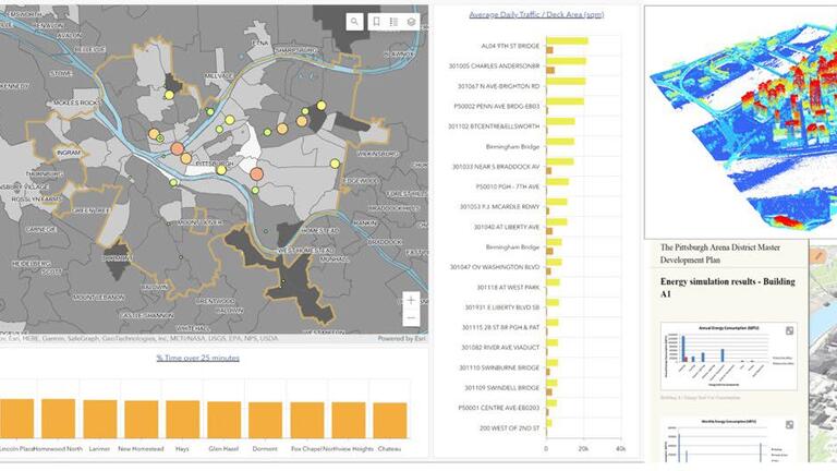
GIS project examples. Credit: Yu Sugimoto, Kristen Kurland and Shalini Ramesh.
A geographic information system (GIS) is a multifaceted tool that stores, retrieves, visualizes and analyzes geospatial data. It empowers users to delve into spatial relationships, patterns, and processes within various location-based data categories. These encompass cultural, demographic, economic, environmental, health, physical, social and numerous other phenomena. GIS brings this data to life by generating digital twins or virtual representations of natural and built environments and seamlessly integrating various digital models.
GIS encompasses a wide spectrum of topics, ranging from fundamental geographic concepts like projections and map scales to intricate geodatabases, spatial data processing, and advanced techniques such as digitizing and data mining. It extends into multifaceted applications, including spatial statistics, animation and 3D GIS. This comprehensive course covers GIS, computer aided facility management (CAFM), and integrated work management systems (IWMS), delving into areas such as space and asset management, building operations, environmental health, safety, and real property management.
The course structure incorporates asynchronous video lectures to cultivate a deep understanding of GIS, supplemented by in-person or Zoom lectures and weekly office hours for interaction. Practical software tutorials center around the industry-leading tools from Esri Inc., including ArcGIS Pro, ArcGIS Online, ArcGIS Map Viewer, ArcGIS Story Maps and Dashboards. The subject areas span a broad array of disciplines, including architecture, engineering, construction management, building performance, environmental health, sustainability, public policy, urban design and planning.